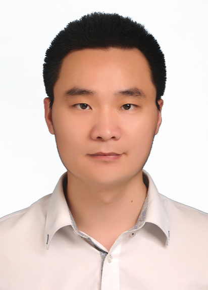
Assoc. Prof. Yufu Zang, Nanjing University of Information Science & Technology,China
臧玉府副教授,南京信息工程大学
A. Prof. Yufu Zang obtained a PhD from Wuhan University, did postdocs from Delft University of Technology. Now I am an associate professor and Master’s supervisor of Nanjing University of Information Science and Technology (NUIST). I mainly focused on UAV photogrammetry, 3D laser scanning data processing and computer vision technology research. Develop methods for spatial and semantic structure extraction by computer vision and pattern recognition techniques, 3D scene understanding based on multi-platform laser scanning data, including point cloud registration, simplification, object extraction, semantic reconstruction, etc. Participated in the research and development of photogrammetric “Godwork” software, Point2Model, Shenzhen Real estate intelligent allocation, high-performance adjustment and other large professional software. I published more than 30 academic papers in well-known journals, such as ISPRS, TGRS, GRSL and Acta Geomatics, and more than 10 national invention patents. Participated in the writing of ISPRS book chapter on machine learning for point clouds. I hosted and participated in several National projects, and Provincial and ministerial projects. I am also the reviewer of journals such as ISPRS\TGRS\JAG\GRSL, etc.
武汉大学博士,代尔夫特理工大学博士后,南京信息工程大学硕导、副教授,主要从事无人机摄影测量、三维激光扫描数据处理及计算机视觉技术研究。研究采用计算机视觉、模式识别等技术提取空间、语义结构;基于多平台激光扫描数据研究场景理解技术,包括点云配准、点云简化、目标提取、语义建模等技术方法。曾参与研发摄影测量天工软件、激光点云Point2Model、深圳房产智能分摊、高性能分块平差等大型专业软件。近年来在ISPRS、TGRS、GRSL、测绘学报等国内外知名期刊上发表学术论文30余篇,国家发明专利10余项,参与撰写英文专著(ISPRS book chapter on machine learning for point clouds)一部,主持国家自然科学面上项目、国家自然科学青年基金、测绘遥感信息工程国家重点实验室开放基金、江苏省高校面上项目等项目。参与国家重点研发计划、国家自然科学基金重大项目、国家973科研项目以及国家自然科学基金等多个项目研究。担任国内外期刊如ISPRS\TGRS\JAG\GRSL\测绘学报\遥感学报等期刊审稿人。
