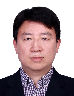
| Prof. Juanle Wang, Chinese Academy of Sciences, China王卷乐教授,中国科学院 Professor and doctoral supervisor, Institute of Geographic Sciences and Natural Resources Research, Chinese Academy of Sciences. Member of the Scientific Committee of World Data System in ISC, head of the DisasterRisk Reduction Knowledge Service sub-center inUNESCO-IKCEST, and Director of the Resource Ecology Research Committee of China Society of Natural Resources. Editorial board member of “Data Science Journal”, “Geoscience Data Journal”, “Data”, “China Science & Technology Resources Review”, “China Scientific Data”. He has long been engaged in research onEarth System Scientific data sharing, the spatial information services for the Belt and Road Initiative, and disaster risk reduction knowledge Service. He published more than 200 papers, 13 monographs and 7 atlases. He was awarded the Second prize of National Science and Technology Progress Award of China in 2014, Special Prize for Geographic Information Technology Progress in 2022, and Special Prize for Surveying and Mapping Technologyin 2023. 中国科学院地理科学与资源研究所研究员、博士生导师。ISC-WDS(世界数据系统)科学委员会委员、UNESCO-IKCEST国际防灾减灾知识服务系统负责人、中国自然资源学会资源生态研究专业委员会主任。《Data Science Journal》《Geoscience Data Journal》《Data》《中国科技资源导刊》《中国科学数据》等编委。长期从事地球系统科学数据共享、一带一路空间信息服务和防灾减灾知识服务研究。发表学术论文200余篇,出版专著9部,图集7部,2014年获得国家科技进步二等奖,2022和2023分别获得地理信息科技进步特等奖和测绘科技奖特等奖。 |
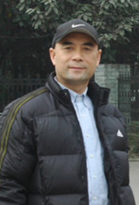
| Prof. JunQin, Southwest Jiaotong University,China秦军教授,西南交通大学 He has been engaged in research and practice in remote sensing theory and application technology for many years and has participated in or led dozens of national and provincial-level research projects. His in-depth research fields include: the mechanisms of quality degradation and recovery of satellite high-resolution optical imaging; the comprehensive application of remote sensing technology in transportation engineering and hydropower engineering construction; remote sensing monitoring technology for transportation engineering operational safety and emergency response; and visual interpretation and intelligent interpretation of remote sensing images. 从事遥感理论与应用技术的研究与实践多年,参与或主持过数十项国家及省部级研究项目,较为深入的研究领域有:卫星高分辨率光学成像质量退化的机理及其恢复;遥感技术在交通工程、水电工程建设中的综合应用技术;交通工程运营安全及应急响应的遥感监测技术;遥感图像的目视解译与智能解译。 |
| Prof. Hao Zhang, China University of Geosciences (Wuhan)张昊教授,中国地质大学(武汉) He has been engaged in reflectance spectroscopy for a long time, particularly in the experimental measurement of bidirectional reflectance spectra of various types of particle accumulation layers and their applications in planetary remote sensing. He has conducted material composition analysis of the landing areas using data from the Chang'e 3 and Chang'e 4 missions, and his results have led to multiple features of the "Chang'e Program" being featured on the covers of internationally renowned journals or the homepage of publication websites. In 2023, the International Astronomical Union named asteroid 34714 as "Zhang Hao Star." 长期从事反射光谱学,尤其是各类颗粒堆积层双向反射光谱的实验测量及其在行星遥感中的应用。对“嫦娥3号”和“嫦娥4号”探测数据进行了着陆区物质成分分析,所获成果使“嫦娥工程”多次登上国际权威期刊封面或刊物网站首页。2023年,国际天文联合会将34714号小行星命名为“张昊星”。 |


